Project Description
Project Deliverables
3D point cloud, digital surface model, and high-definition orthomosaic map.
Project Details
- Aircraft: DJI Phantom 4 RTK
- Flight Altitude: Approximately 195-feet AGL
- Mission Type: Multi-mission corridor grid
- Images Captured: 1,591
- Imagery Type: RGB Photo
- Total Project Area: Approximately 84-acres
- Flight Airspace: Class G
- Location: Payson, Arizona
- Project Category: 3D Map & Model

Project Description
Aerial corridor mission along approximately 1.4-miles (river miles) of the East Verde River in Payson, Arizona. Flight path was approximately 255-ft wide along the river bounded by existing homes through an existing subdivision. EWL is able to generate a 3D surface model of the river channel from the sUAS data. This river mapping data was then utilized to simulate flooding conditions using GIS applications and HEC-RAS.
The video [on the left] shows the simulated flow of the HEC-RAS river flood model. By channeling water through the digitally reconstructed river basin, EWL can simulate and predict the high water levels of a design storm event. The efficiency of the sUAS data capture allows robust simulations of a water system that delivers more reliable data to the end-user.
Related Projects

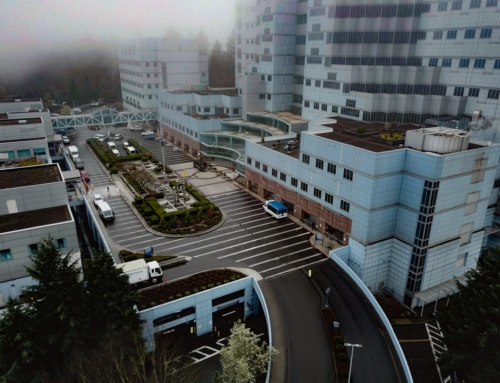
VA Portland Medical Center
Project Deliverables 3D point cloud, digital surface model, [...]

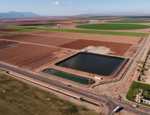
University of Arizona Agricultural Research Pond
Project Deliverables Basin asbuilt volumes, 3D point cloud, [...]

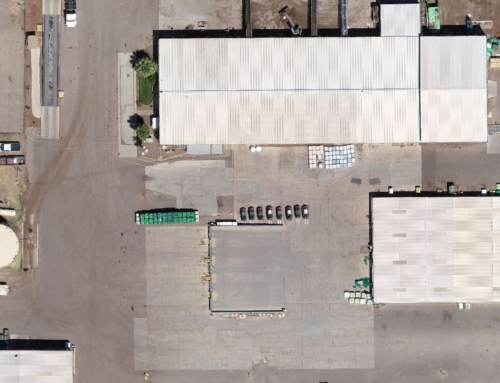
Site Inspection
Project Deliverables 3D point cloud, digital surface model, [...]