Project Description
Project Deliverables
3D point cloud, digital surface model, and high-definition orthomosaic map.
Project Details
- Aircraft: DJI Phantom 4 RTK
- Flight Altitude: Approximately 195-feet AGL
- Mission Type: Multi-mission grid
- Images Captured: 1,381
- Imagery Type: RGB Photo
- Total Project Area: Approximately 140-acres
- Flight Airspace: Class G
- Location: Maricopa, Arizona
- Project Category: 3D Map & Model

Project Description
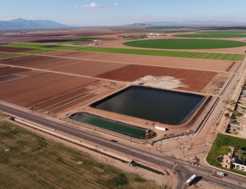
Aerial double-grid mission over soil/mulch plant in Maricopa Arizona. The DJI Phantom 4 RTK was flown at an elevation of approximately 310-feet AGL to capture images of a well water system and full 140-acre processing site. In addition, a double-grid mission was flown over the water system site to provide a more detailed 3D model of the well and water storage tank.
A 3D point cloud, full-site orthomosaic, and DSM were produced in order to model a well water system and to calculate stockpile volumes. After post-processing is complete EWL can measure any component of a system, whether it is taking the length of an object, height of a structure, dimension of a tank, etc. sUAS technology has improved the safety of data capture by eliminated the need to go back into the field to take measurements or enter dangerous areas of a project or construction site.
EWL Aerial Tech uses processing software that allows for quick and accurate linear measurements and volume calculations of water storage tanks and stockpiles. EWL can also produce high-quality Digital Surface Models (DSM) of any kind of site or terrain. Contour lines are generated from the DSM, which creates a precise ‘bird’s-eye-view’ topographic map of any terrain. The image [on the left] shows the DSM of the plant’s fertilizer stockpiles and processing plant.
EWL Aerial Tech can measure the volume of any storage tank or 3D object, allowing for quick and precise analysis of system infrastructure and asset management.

Related Projects

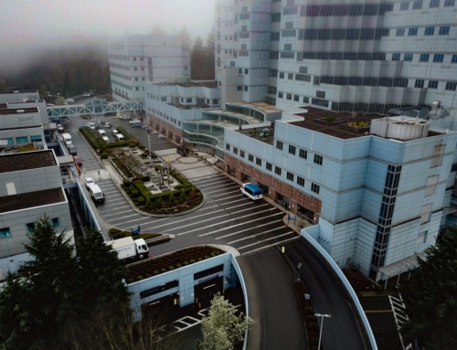
VA Portland Medical Center
Project Deliverables 3D point cloud, digital surface model, [...]

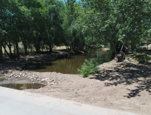
University of Arizona Agricultural Research Pond
Project Deliverables Basin asbuilt volumes, 3D point cloud, [...]

Site Inspection
Project Deliverables 3D point cloud, digital surface model, [...]