Project Description
Project Deliverables
Basin asbuilt volumes, 3D point cloud, digital surface model, and high-definition orthomosaic map.
Project Details
- Aircraft: DJI Matrice 210 RTK
- Flight Altitude: Approximately 185-feet AGL
- Mission Type: Aerial double-grid
- Images Captured: 608
- Imagery Type: RGB Photo
- Total Project Area: Approximately 29-acres
- Flight Airspace: Class G
- Location: Maricopa, Arizona
- Project Category: 3D Map & Model

Project Description
The DJI Matrice 210 RTK flew a double-grid mission at approximately 185-feet AGL to capture aerial RGB photos of the University of Arizona Agricultural Research Pond in Maricopa, Arizona. The goal of the project was to determine how much water would be needed to fill the entire volume of the research pond. Using photogrammetry analysis, a robust 3D point cloud model was created, along with a full-site orthomosaic and Digital Surface Model (DSM).
Photogrammetry and sUAS technology allow 3D models to be generated at any point in the construction process. With point could volume analysis, EWL Aerial Tech was able to calculate precise measurements of the pond, including its maximum volume, before a single drop of water was pumped into the pond.

The image [on the left] shows a point cloud that was generated from aerial RGB photos. The 3D point cloud model can be measured, analyzed, and manipulated using EWL’s advanced photogrammetry software. The green region within the pond represents the full volume of the pond. However, the volume at any water level depth can also be determined.
EWL Aerial Tech utilizes multiple tools to confirm the volume and dimensions of the pond. The image [to the right] shows a portion of the 3D point cloud model of the pond in Autodesk ReCap, which is also used for editing, analyzing, and measuring point cloud data. With Autodesk ReCap, precise measurements and dimensions can be confirmed, further increasing the validity of the pond’s volume calculations. Any surface, length, dimension, or volume of any kind can be analyzed with EWL’s point cloud analysis software.

Related Projects

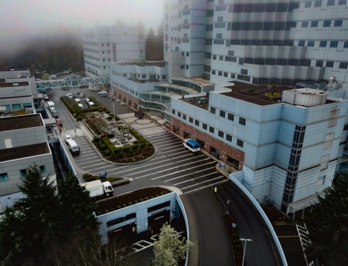
VA Portland Medical Center
Project Deliverables 3D point cloud, digital surface model, [...]

University of Arizona Agricultural Research Pond
Project Deliverables Basin asbuilt volumes, 3D point cloud, [...]

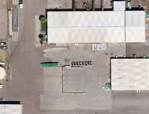
Site Inspection
Project Deliverables 3D point cloud, digital surface model, [...]